 TheWoWDB
Doodad
Jangolode Mine
Doodad Object in World of Warcraft. Doodads are scenery: props placed to dress the world, with no interaction of their own.
Details
Reference guides for the world's herb, ore and fishing-pool nodes are on the farming pages.
Where It Appears
Every placement the client ships for this object, projected onto the game's own map art.
Eastern Kingdoms 1 placement
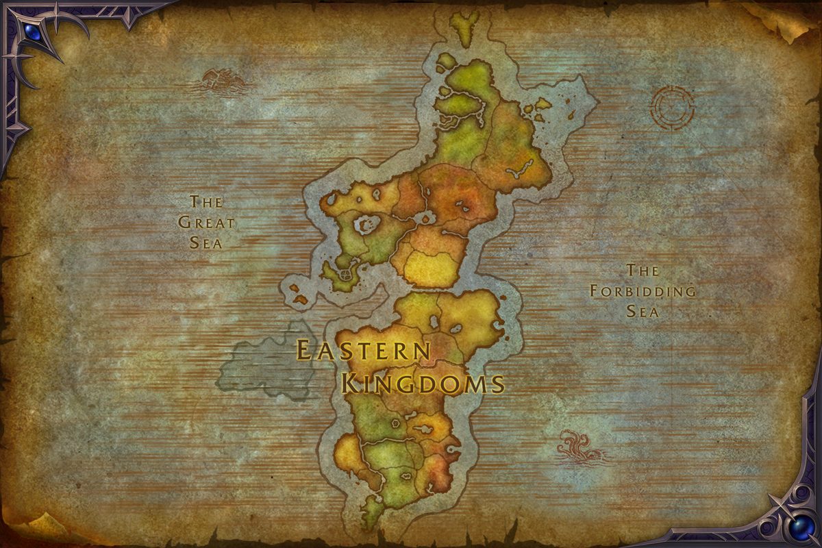 Jangolode Mine
The Gnoll War 1 placement
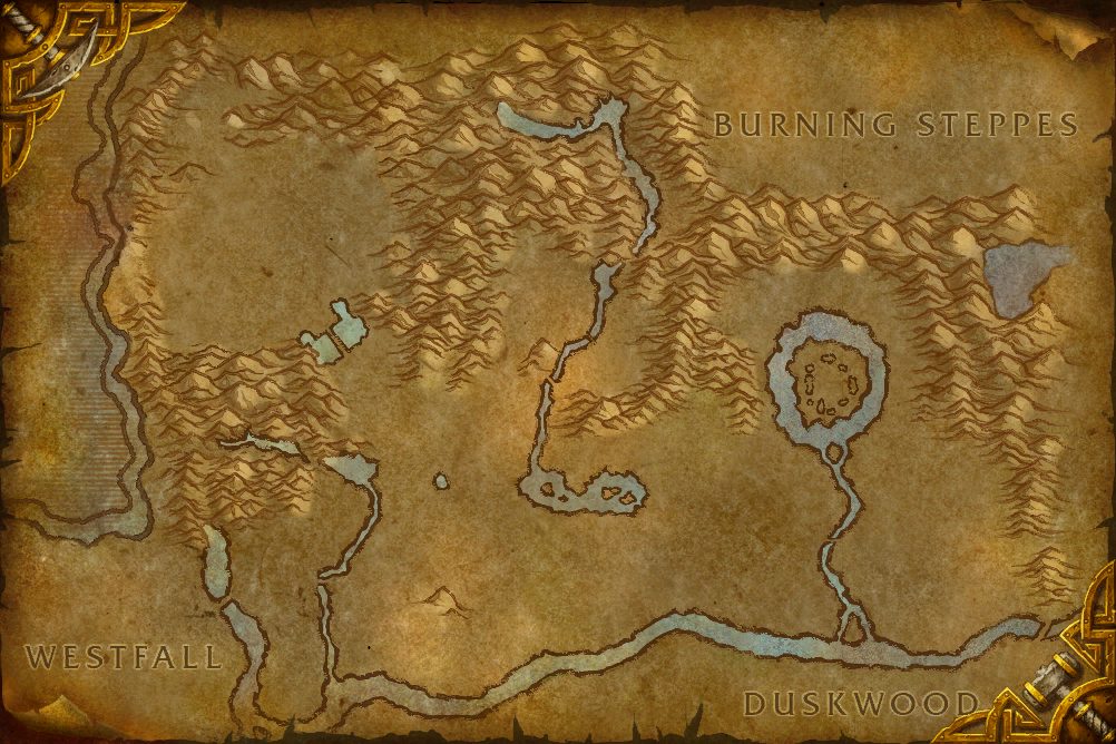 Jangolode Mine
| Map | Coordinates |
|---|---|
| Eastern Kingdoms | 43.1, 80.6 |
| The Gnoll War | 14.4, 89.3 |
Reading the first 2 of 3 placements.
Model and Footprint
The model measures 2.3 by 0.2 yards across its base and stands 0.9 yards tall. Its art is client file 198479.
The 3 located placements are split across 3 maps, and every one of them sits at about 31.5 yards of altitude.
Getting There
The closest flight master to a Jangolode Mine placement is Furlbrow's Pumpkin Farm, Westfall, 298.3 yards away to the north-west. Distances are measured on the ground from the nearest placement, using the client's own world coordinates.
| Kind | Name | Yards | Direction |
|---|---|---|---|
| Flight point | Furlbrow's Pumpkin Farm, Westfall | 298.3 | north-west |
| Flight point | Sentinel Hill, Westfall | 575.1 | south |
| Map landmark | Old Macdonald | 190.8 | north-east |
What Stands Beside It (4)
Other named objects the current client cache places within 25 yards of this one. Elwynn Forest is the nearest of them, 2.4 yards from a Jangolode Mine placement.
| Object | Type | Yards | Copies nearby |
|---|---|---|---|
| Elwynn Forest | Doodad | 2.4 | 2 |
| Old Coast Road | Doodad | 3.1 | 2 |
| Moonbrook | Doodad | 3.3 | 2 |
| Sentinel Hill | Doodad | 3.4 | 2 |
The Place
Jangolode Mine is also a named location in the World of Warcraft world map data. Its zone entry has the surrounding subzones, level range and the rest of the area record.
Nearby Objects (8)
Other doodad groups the client places on Eastern Kingdoms.